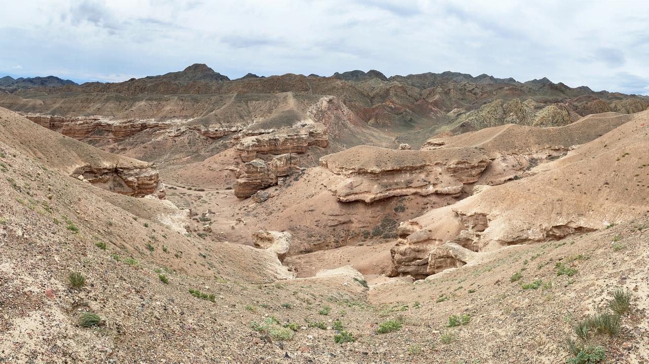
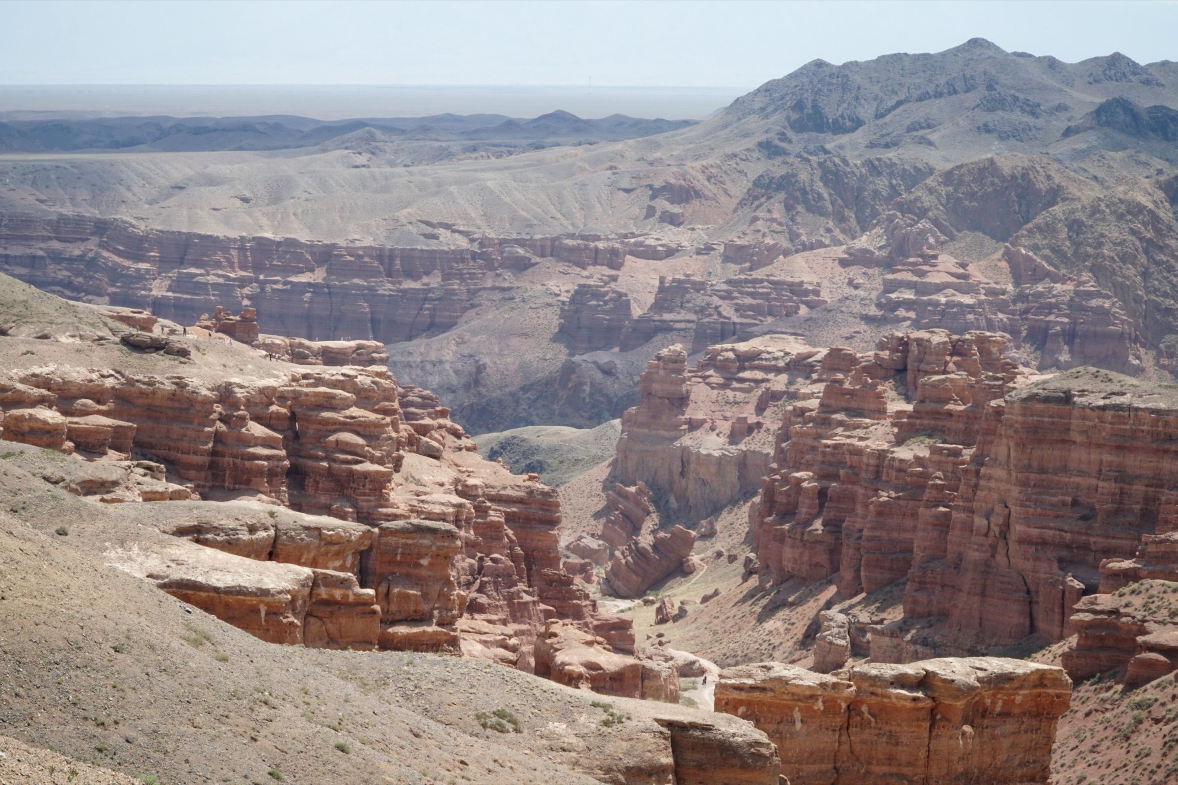
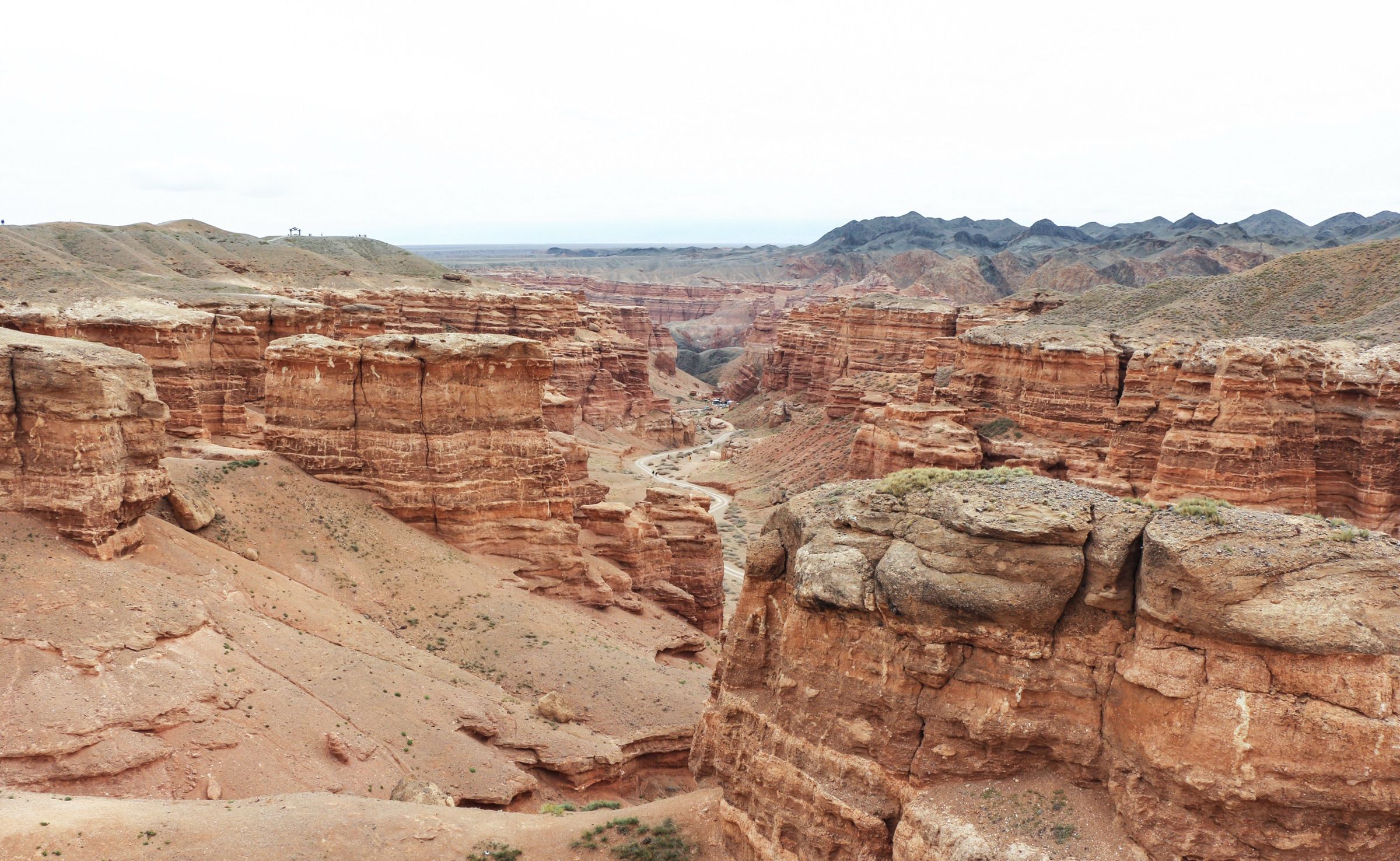
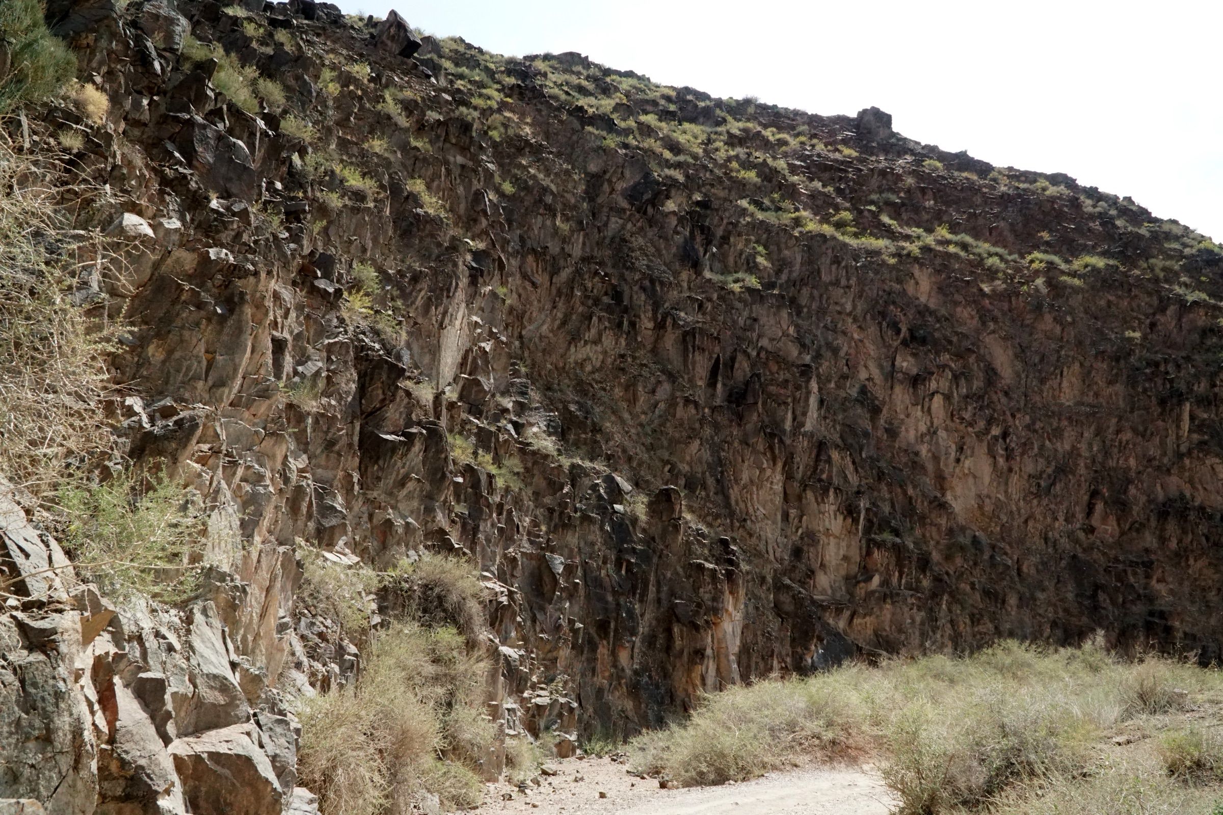
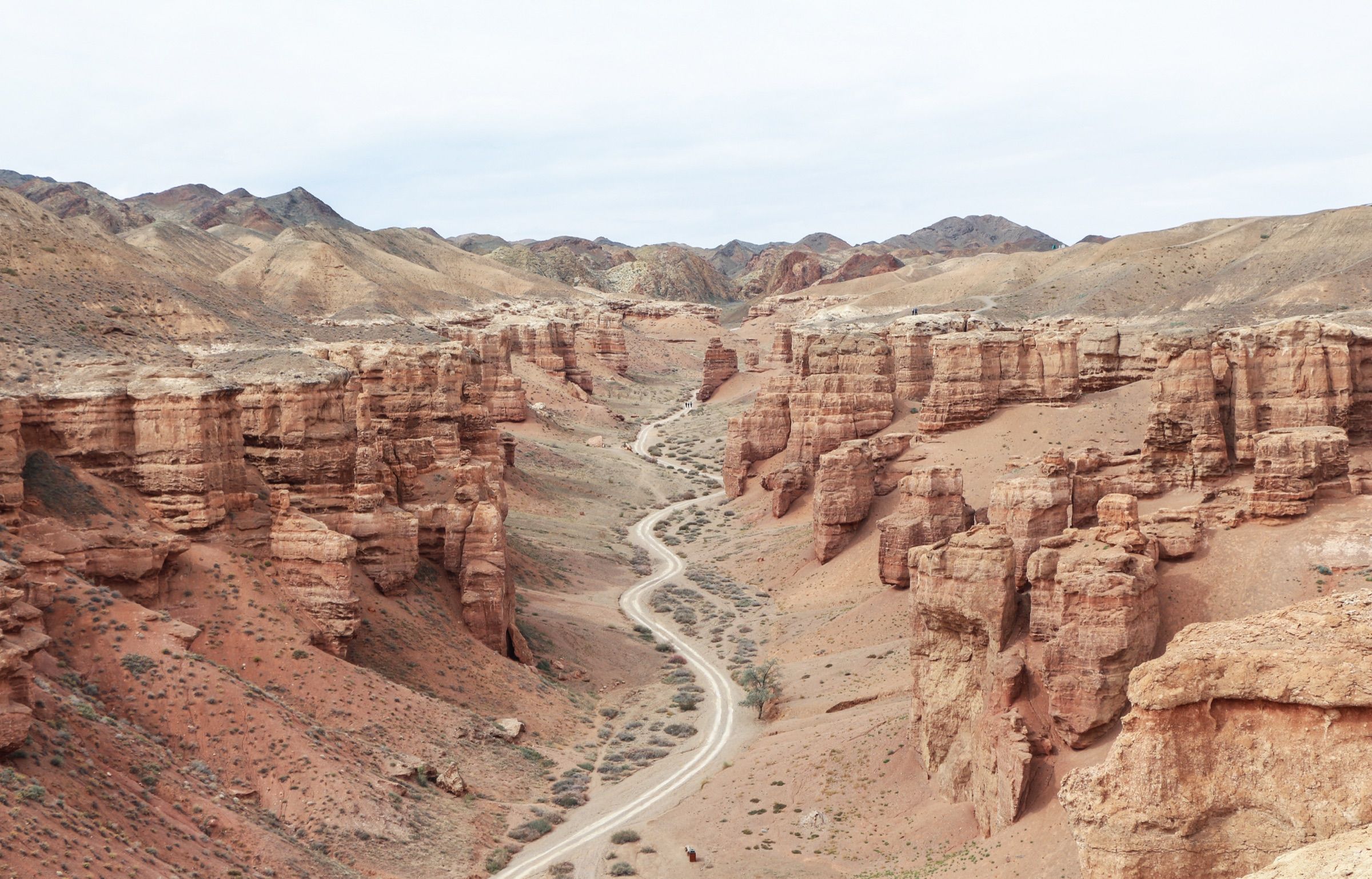
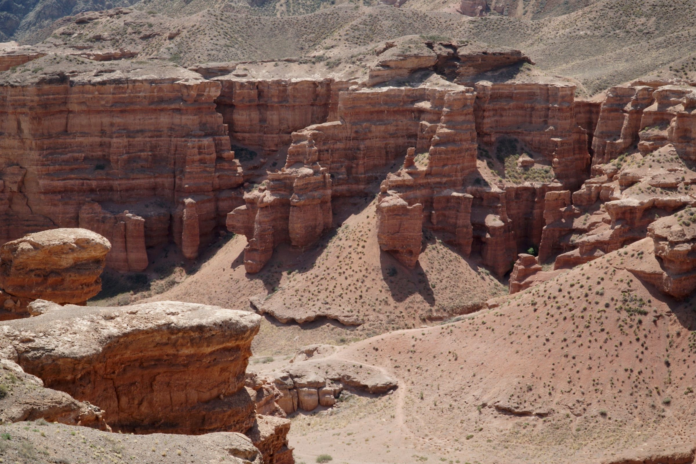
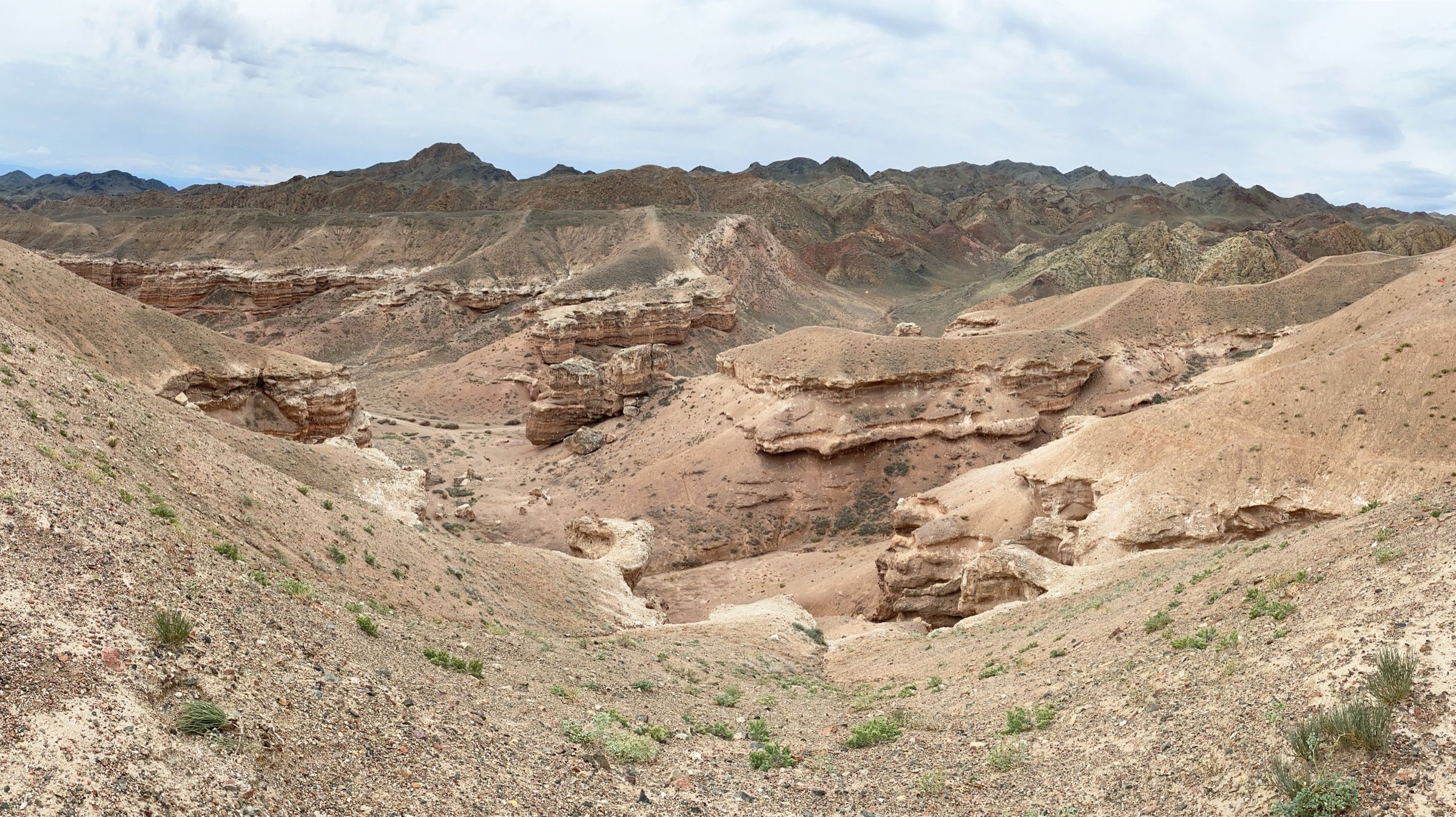
Charyn Canyon stretches 154 kilometers, reaching depths of 300 meters at the deepest points. It was carved by the Charyn River — a left tributary of the Ili — descending from the Tian Shan. The exposed red sandstones are Neogene rocks, formed about 12 million years ago. The canyon's modern shape took form over the last 1.5 million years, through Northern Tian Shan tectonic uplift and post-Ice-Age erosion.
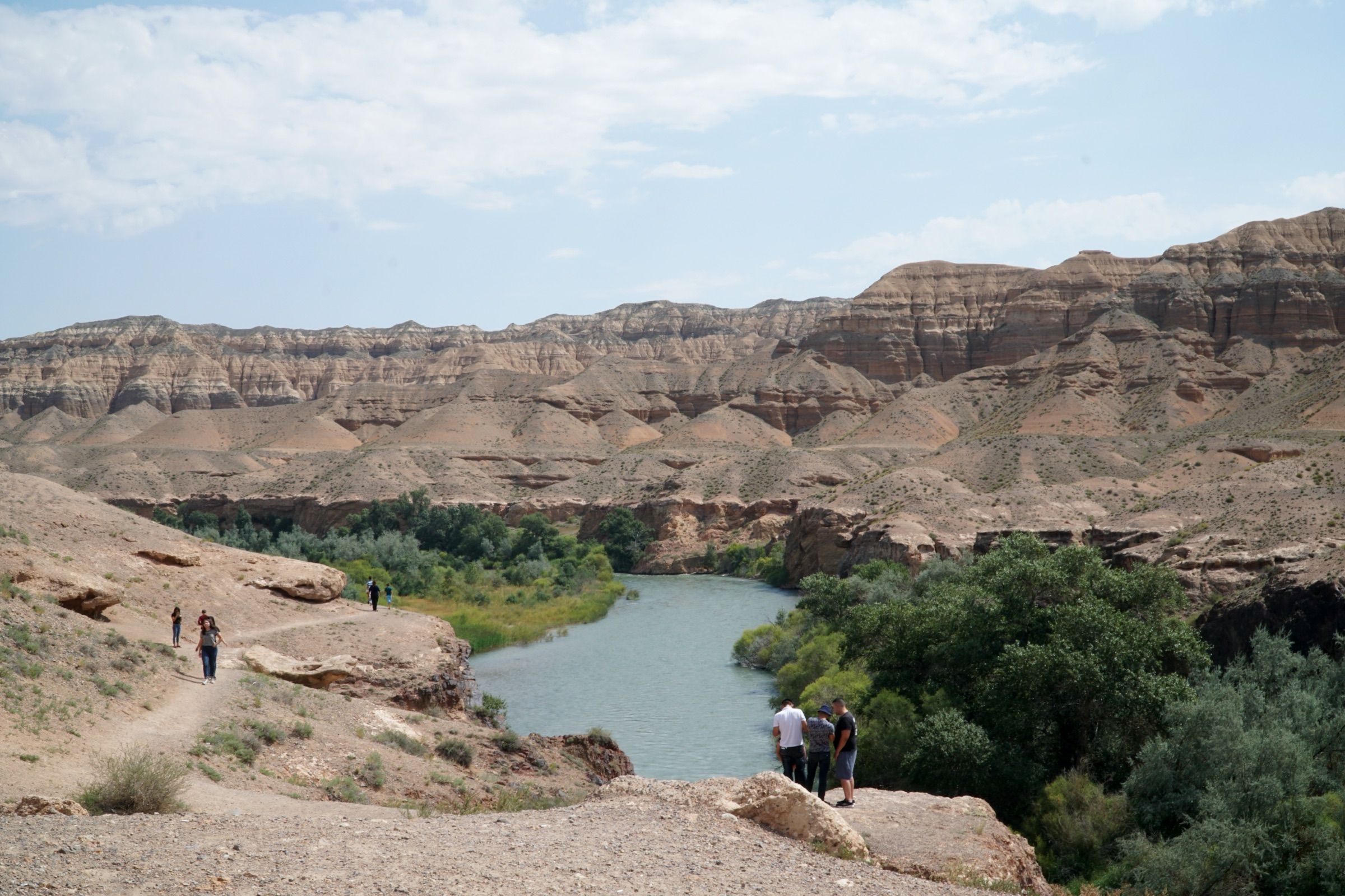
Inside the canyon grows a relict grove of Sogdian ash (Fraxinus sogdiana) — one of the rarest in the world. The species has existed since the Paleogene and survived the Ice Age only thanks to the soft microclimate of the Charyn river valley. The grove has been state-protected since 1964; in scale it is the only one of its kind in Eurasia — the only comparable grove survives in North America.
Charyn National Park was officially established on 23 February 2004 by Resolution No. 213 of the Government of Kazakhstan. In 2009 its area was expanded to 127,050 hectares. The park comprises five canyons: Valley of Castles, Temirlik, Yellow, Red, and Bestamak. Today Charyn is the fourth most-visited national park in Kazakhstan.
The canyon has become a cultural symbol of the country: in 2023 the National Bank of Kazakhstan issued a new 5,000 tenge banknote featuring Charyn as part of the "Saka Style" series. The name "Charyn" has two interpretations: one from the Turkic root "shar/zhar" (cliff), the other from the Uyghur "sharyn" (ash tree). Both versions accurately describe the canyon's defining features — the cliffs and the relict ash grove.